How to make sure we capture the past
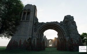
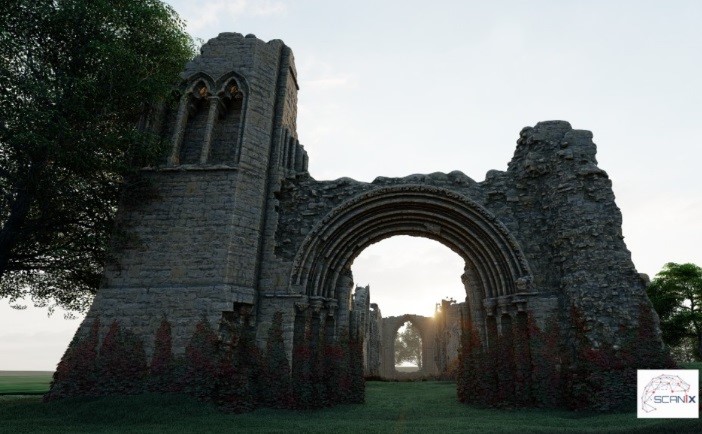
3D laser scanned surveys accurately record our historic buildings and heritage sites so that they can be preserved for future generations.
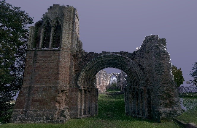
The surveys can collect huge amounts of building or landscape data, quickly with incredible accuracy, recording potentially tens of millions of data points. Each data points position is recorded in 3D space, collectively this is known as a point cloud. The captured data is measurable, precise, and highly detailed and can be used to produce many deliverables for conservation and preservation.
Highly accurate laser measurement data can be quickly captured with levels of detail previously unobtainable with traditional measurement methods. Collected scan data has many uses, for example development & planning, maintenance and restoration projects.
The use of laser scanning technology for surveying is now commonplace but not long ago a measured site survey would require a team of surveyors with a host of equipment, today’s surveyor is likely to be solo and able to survey the same site equipped with just a tripod-mounted laser scanner, more accurately, in half the time.
Multiple scans can be combined to map any space from a single room, an entire building, or even a complete Building and boundaries. If more building information is required each scan point is supported with a full 360-degree HDR photograph and with some high-end scanners 360-degree Infrared images for detecting heat loss, which is especially useful in heritage applications.
Once registered the point cloud data is easily imported into many design packages such as AutoCAD & Revit to produce 3D BIM (Building Image Models), 2D floor plans, elevations and fully rendered models for public exhibition of a historic sites.
Nik Abel – Scanix 3D Services http://www.scanix.co.uk/ [email protected] 07547 727495